TLDR;
This Crash Course Geography video explores the erosional power of rivers and how they shape landscapes. It covers the sources of river water, drainage basins, stream order, and the factors influencing stream energy. The video also examines the three main parts of a river (upper, middle, and lower courses) and how they carve the Earth differently, as well as the impact of stream channel shape and material on water flow.
- Rivers erode and transport sediment, creating landforms.
- Stream energy is influenced by gradient, sediments, and water volume.
- River courses vary in energy and sediment load, shaping distinct landscapes.
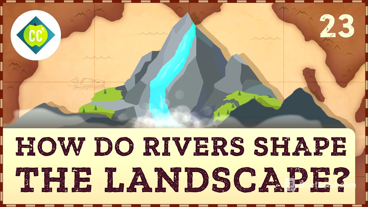
Introduction to River Erosion [0:00]
The video starts by showcasing Victoria Falls (Mosi-oa-Tunya), emphasizing the erosional power of the Zambezi River. It highlights how water's erosional force, though not always visible, shapes landscapes over time by transporting energy, nutrients, and carving rock. The video introduces the topic of how rivers shape the physical landscape and how human use impacts these environments.
Sources and Systems of Rivers [1:35]
Rivers and streams are defined as bodies of water flowing in a channel downhill due to gravity. The Zambezi River's water sources include surface runoff from rain, springs, and lakes, as well as underground sources like aquifers. Tributaries near the headwaters are primarily supplied by groundwater, which acts as a natural filter. A stream system, also known as a drainage basin or watershed, encompasses the area drained by a stream and its tributaries, directing water to a single drainage point. Drainage basins are open systems where water enters through precipitation, snowmelt, and springs, and exits through ocean drainage, evaporation, or human withdrawal.
Stream Order and Energy [3:57]
Rivers and their tributaries form drainage networks, which can be categorized using a stream hierarchy. First-order streams have no tributaries and are often spring-fed headwaters. When two first-order streams merge, they form a second-order stream, and so on. The Zambezi's order varies depending on the number of contributing streams. As rivers flow, they carve channels and plains, with the shape and material of the drainage basin influencing water flow and channel type. Stream gradient, the elevation drop over a distance, affects stream energy, which is the river's capacity to erode rock and transport sediment. Stream energy is derived from potential energy converting to kinetic energy as gravity pulls the river downhill.
River Courses and Sediment Deposition [5:38]
Major rivers like the Zambezi have three main parts that shape the landscape differently based on the Earth's crust composition. The upper course begins in an equatorial forest with a low gradient, carrying fine sediments. The middle course has a steeper gradient and transitions to igneous and metamorphic rock, allowing for dramatic erosion and a high stream load. Sediments are deposited in flat areas like the Barotse Floodplain. The lower course slows down as it reaches its lowest point, entering a broad valley with a sandy bed, splitting into distributaries, and depositing fine sediments. Rivers end by flowing into another body of water, depositing sediments to form alluvial fans, floodplains, or deltas like the Zambezi's mouth in the Indian Ocean.
Stream Channel Shape and Equilibrium [8:04]
The shape of a stream channel is determined by the base level, with rising sea levels altering river velocity and flow. Most rivers have a concave profile, with a steep upper course transitioning to a gentle slope towards the base level. Middle courses are flatter, with smoother channel beds that promote sinuosity and meanders. Curves in the channel affect water speed, with faster currents on the outside of bends causing erosion and slower currents on the inside leading to sediment deposition. Rivers adjust their course to maintain equilibrium, dumping sediments during floods to create natural levees and deltas. The shape, stream load, and flow velocity contribute to the river's equilibrium and its dynamic shaping of the landscape.