TLDR;
The video discusses the climate phenomena of El Nino and the polar vortex, focusing on their unprecedented interactions and impacts for the upcoming winter.
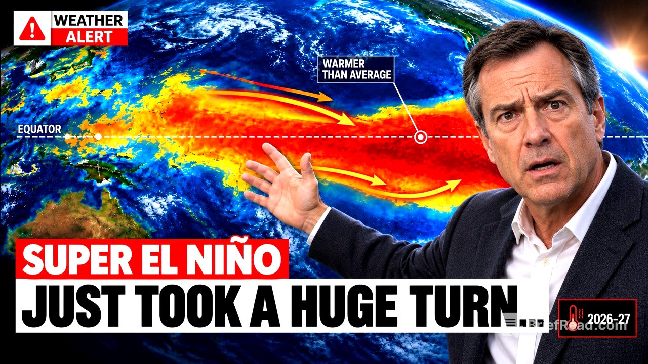
- Ocean temperatures have significantly exceeded historical averages, indicating a strong El Nino.
- A sudden pause in temperature warming caused confusion about the strength of El Nino.
- The polar vortex is showing signs of weakening, creating uncertainty about winter weather predictions.
The Climactic Conditions of the Pacific and Arctic [0:00]
In South America, ocean temperatures reached record highs, particularly in October. The El Nino region recorded a rise of 3.3°C above normal, surpassing the previous record by over one degree. Particularly alarming were measurements near the coasts of Peru and Ecuador, where the temperature soared above 5°C. These high temperatures can cause significant weather disruptions, such as torrential rains. While warming in the central Pacific region briefly halted, temperatures in the areas closer to South America continued to rise.
Understanding El Nino's Rapid Intensification [4:02]
Starting in early 2026, meteorological forecasts predicted the development of an El Nino. Throughout the year, it rapidly intensified, registering extreme values, particularly in July, when the Southern Oscillation Index indicated the most negative July on record. Forecasters began to anticipate the possibility of an unprecedentedly strong El Nino event. Insights from Australia's meteorological data showcased the unmatched speed of this El Nino's strengthening compared to historical events.
Forecasting Complications and Records [6:44]
By mid-October, multiple forecasting models indicated a very strong El Nino lasting until early next year. Data from Columbia University projected ocean temperature increases that could even exceed the previous high set in 1902. This marked a concerning possibility for historical weather records, with a high chance of surpassing previous peaks for El Nino activity, further complicating long-range forecasts.
The Pause in Warming Explained [10:04]
The apparent halt in warming during October resulted from a strong westerly wind burst across the central Pacific. This climatic phenomenon disrupted the ocean's surface temperature readings, but temperatures still rose in the regions closer to South America. This indicates that El Nino was not weakening but rather gathering strength due to interactions within the ocean.
Anticipated Weather Patterns and Jet Stream Dynamics [12:10]
El Nino significantly impacts weather patterns, particularly the jet stream. Typically, a strong El Nino leads to wetter conditions across the southern United States and milder conditions in the north. However, the complexities of this year’s conditions introduce uncertainty into predictions. The jet stream may alter in ways that challenge typical weather patterns, causing forecasters to re-evaluate standard expectations.
Atlantic Hurricane Season and Unexpected Events [15:00]
The Atlantic hurricane season has witnessed historically low activity resulting from high wind shear attributed to El Nino, delaying hurricane formations. However, in early October, Tropical Storm Isaiah formed and became a hurricane late in the season, breaking records for the latest first hurricane. This surprising development illustrates that a quiet hurricane season does not guarantee a lack of impactful storms.
The Polar Vortex and Stratospheric Changes [16:56]
The video shifts to the polar vortex, which typically keeps cold Arctic air contained. In late October, the polar vortex underwent a significant weakening, raising concerns about its potential impacts on winter weather. A major disruption in the stratosphere could lead to drastic shifts in air patterns, making it possible for frigid temperatures to pour into North America and Europe.
Competing Forces: El Nino vs Polar Vortex [18:36]
El Nino usually drives a milder northern winter while the polar vortex can result in cold outbreaks in the south. This year, however, the interaction between these forces is uncertain, leading to a complex and unpredictable winter ahead. Meteorologists express concern that both phenomena may influence the weather simultaneously.
Potential Scenarios for Winter 2023-2024 [20:12]
Forecasters anticipate a wide range of possible outcomes this winter due to the unique combination of El Nino and polar vortex disruptions. While a strong El Nino suggests an active and wetter winter, the chance of cold air outbreaks complicates predictions greatly. Historic snowfall and severe weather may occur if these elements interact, reflecting the unpredictability of this winter.
Conclusion: An Uncertain Future [23:08]
In summary, this winter presents a unique confluence of events with a historic El Nino and an unusual polar vortex disruption. While the forecasts indicate heightened odds for certain weather patterns, the overall unpredictability necessitates closer monitoring. The complexities inherent in the atmosphere make precise predictions difficult as overlapping factors interact.