TLDR;
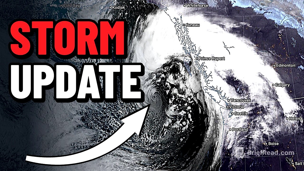
The video presents a detailed overview of the first significant autumn storm approaching Washington, with a focus on wind gusts, wave heights, and weather conditions. Key takeaways include:
- A cold front associated with a low-pressure system of 958 millibars is expected.
- High wind warnings and advisories are issued for coastal and some inland areas.
- Massive waves of over 20 feet are anticipated, particularly at Westport.
Stream start [0:00]
Benjamin Jükovich introduces the first major storm of autumn affecting Washington. He discusses the satellite imagery showing the approaching storm, highlighting its formidable nature indicated by a minimum surface pressure of 958 millibars. As the cold front begins to push in, precipitation is starting to be observed on the coast.
First decent storm of autumn on satellite [2:00]
The initial assessment of the storm reveals a significant cold front, shown in a loop on the HRRR model, emphasizing the potential intensity as it approaches. Expectation of strong gusts, especially near the coast, indicates a notable impact in areas like Forks and La Push, with wind speeds predicted to exceed 60 mph.
Radar and the incoming cold front [2:37]
Radar imagery illustrates the advance of the cold front, with specific wind gusts anticipated near La Push and Ocean Shores, expected to range between 60-65 mph. Inland, Seattle may experience gusts around 40-47 mph as the front passes through, marking the transition from calm to noticeable winds.
HRRR wind gusts for the coast and Seattle [3:06]
The HRRR model predicts wind gusts for coastal areas, including mentions of locations such as Ocean Park and Oceans Shores experiencing strong gusts. Inland areas will generally face lower wind gusts but still significant enough to warrant monitoring.
RRFS shows the line of wind [4:55]
The RRFS model demonstrates the severity of the wind line as the storm crosses Washington. While coastal regions brace for the most intense gusts, inland areas will also face breezy conditions as the front moves through, providing a solid glimpse of the weather patterns expected.
Weather alerts and warnings [5:08]
Current weather alerts highlight high wind warnings along the coast extending to Long Beach, alongside wind advisories for various inland locations. Specific regions such as Seattle and Everett are outlined for wind gusts ranging from 45 to 50 mph.
Huge waves coming Sunday [6:19]
Significant wave activity is anticipated for the coast, with the storm expected to generate exceptionally high waves, making it an ideal time for wave watchers to observe the action along Washington's coastline.
Detailed storm breakdown begins [6:37]
The video progresses into a detailed breakdown of the storm's characteristics, referencing the low-pressure system and its possible impact, including thunderstorms linked to the approaching front. Observations indicate it will not be a major inland windstorm but still significant along coastal lines.
958 mb low and the cold front [7:06]
The discussion continues with emphasis on the low-pressure system and how the cold front will affect Washington. Predictions indicate a brief arrival of thunderstorms and strong winds as the weather system moves, particularly affecting areas near Vancouver Island.
HRRR peak wind gusts [7:55]
The projected peak wind gusts from the HRRR model suggest areas such as Ocean Shores and La Push will experience the highest winds, while inland locations will see milder conditions but still face noticeable gusts.
RRFS peak wind gusts, Hurricane Ridge near 70 mph [9:34]
The RRFS model further outlines the wind gust potential, identifying Hurricane Ridge as a particularly affected area with gusts nearing 70 mph, while wind speeds of 40-45 mph are forecasted along the I-5 corridor.
Thunderstorms behind the front [10:26]
Thunderstorms are expected to develop behind the cold front as it passes, accompanied by breezy conditions. This indicates that conditions may become more active and variable immediately following the front's advance.
Sustained winds over Puget Sound [10:49]
Forecasts show sustained winds of approximately 30 mph over Puget Sound, with variable gusts. Monitoring these conditions will be important as they evolve throughout the storm's progression.
Rain totals [11:38]
Expected rain totals for the storm indicate significant precipitation in the Olympic and Cascade Mountain ranges, averaging between a quarter to a half-inch along the I-5 corridor, notably lessening as it moves eastward.
Max wave heights offshore [11:58]
Projected maximum wave heights offshore are expected to reach 70 feet, with conditions aligning to create some of the biggest waves seen in the region.
Significant wave height and 20+ foot breakers [12:44]
The average significant wave height is expected around 21 feet, with numerous breakers exceeding 20 feet, forecasting a dynamic wave environment suitable for observation and potentially dangerous for boating activities.
Kelvin wave and higher tides at Westport [13:34]
A Kelvin wave is influencing tide heights, raising them above predictions, with Westport anticipating high tides comparable to king tides. This suggests an ideal viewing opportunity for large wave activity along the coast.
Swell period explained [14:13]
The swell period is detailed, indicating a shift from 14 seconds to 16 seconds throughout the day. Longer periods between waves signify more potent waves that have the potential to surge further up the beach, enhancing the storm's impact on coastal areas.