TLDR;
This YouTube video features a presentation and discussion about the eruption of Mount Sunda and the ancient Bandung Lake. The speaker, Kang Bachtiar, explains the geological history of the Bandung basin, including the formation of the Sunda caldera, the ancient lake, and the subsequent volcanic activity. The presentation covers topics such as the different generations of volcanoes in the area, the impact of the Sunda eruption on the Citarum River, and the characteristics of the ancient lake's sediment. The discussion also touches on the implications of this geological history for the region's inhabitants, including the risk of earthquakes and the importance of sustainable land use.
- Geological history of the Bandung basin
- Formation of the Sunda caldera and ancient Bandung Lake
- Impact of volcanic activity on the region
- Implications for inhabitants and sustainable land use
Introduction [0:00]
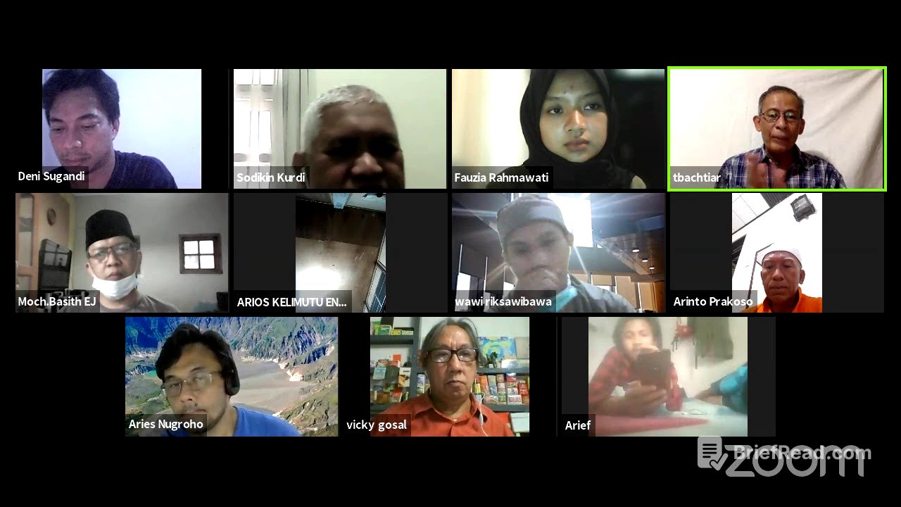
The video begins with an introduction by Dedi Sugandi, the chairman of the Indonesian Tour Guide Association, who introduces Bachtiar, a nature storyteller, writer, activist, and member of the geotrek Kotabumi community. Dedi explains that this is the second activity related to providing information about tourism, following a previous session on the geological diversity of Indonesia and volcanic eruptions. He also mentions that viewers can follow the event through YouTube.
Speaker Introduction [4:21]
Fauziah introduces Kang Bachtiar, who will explain the eruption of Mount Sunda and the ancient Bandung lake. The presentation is scheduled for 1.5 hours, from 15:30 to 16:30. Bachtiar is described as an interpreter of geotag matabumi, a member of the Indonesian geography society, and part of the Bandung basin research group. He has also written several books about Bandung.
Bandung's Current Condition [7:06]
Bachtiar begins by describing the current state of Bandung, noting the crowded conditions and the potential impact of natural phenomena on the city. He points out the disarray of urban planning and the difficulty of mitigating disasters in the city center. He then provides a satellite view of West Java, DKI Jaya, and Banten, focusing on the area within a yellow box, which is the main topic of the presentation.
Key Locations [8:47]
Bachtiar lists the key locations that will be discussed, including the caldera of Mount Sunda, Curug Wonung, Mount Tangkubanparahu, Cukang Rahong, Curug Lawang, Samyang Tikoro, Saguling, and others. He explains that Bandung is often described as concave, like a giant bowl, and shows a profile from Mount Tangkubanparahu to Mount Malabar to illustrate this. He also mentions the Lembang fault and other geological features that contribute to the basin's shape.
The Flat Bottom of the Bandung Basin [11:13]
Bachtiar raises the question of why the bottom of the Bandung basin is flat and introduces the term "Pematang Tengah," which divides the East and West ancient Bandung Lake. He identifies Curug Wunung and Cukang Rahong as the places where the ancient Bandung Lake broke. He also notes that the bottom of the West or East ancient Bandung Lake is not flat.
Mount Batu View [12:59]
Standing on Mount Batu, one can see Mount Burangrang, Mount Tangkubanparahu, and Mount Putri. Bachtiar interprets Mount Putri as the middle mountain of an ancient volcano separated from the Sunda caldera system. He also points out the Lembang fault and its potential impact if it becomes active.
Sunda Caldera [14:53]
Bachtiar discusses the existence of the Sunda caldera, noting that its caldera wall is still intact. He explains that Burangrang was once a volcano, proven by the eruption that opened towards Purwakarta. He also mentions Situ Lembang, the Kopassus training ground, located in the middle of the caldera.
Volcano Generations [18:27]
Bachtiar identifies three generations of volcanoes in the area: Mount Jayagiri, Mount Sunda, and Mount Tangkubanparahu, all of which are still active. He explains that Mount Jayagiri erupted first, followed by Mount Sunda, and then Mount Tangkubanparahu. He also discusses the height of Mount Sunda, suggesting it was around 4000 meters.
Eruption Periods [21:27]
Bachtiar details the eruption periods of the three volcanoes: Mount Jayagiri (560,000 to 500,000 years ago), Mount Sunda (210,000 to 105,000 years ago), and Mount Tangkubanparahu (starting 90,000 years ago). He explains that the eruption of Mount Sunda dammed the Citarum River, creating the ancient Lake Bandung. He also describes the Plinian type eruptions that formed the calderas.
Eruption Material [26:27]
Bachtiar presents evidence of the eruption material from Mount Sunda in Manglayang village, North Cimahi, where it is used for construction. He notes that the material is 40 meters thick in this location. He also shows examples of xkorea, volcanic rocks with air cavities, that were thrown from Mount Sunda.
Formation of Ancient Bandung Lake [30:10]
Bachtiar explains the formation process of the ancient Bandung Lake, describing how the eruption material from Mount Sunda dammed the Citarum River. This damming led to the formation of the eastern part of the lake, which then filled the western part. He also discusses the size and depth of the ancient lake.
Practical Benefits [36:34]
Bachtiar discusses the practical benefits of understanding the ancient Bandung Lake, particularly for developers and city planners. He explains how knowing the deepest points of the lake can help with canal construction and flood mitigation. He uses the example of Soekarno-Hatta Street to illustrate this point.
Tangkubanparahu Shape [37:52]
Bachtiar addresses the question of why Mount Tangkubanparahu looks like an overturned boat when viewed from the south. He explains that this is due to the presence of two large craters, the Upas crater and the Kawah Ratu, which are aligned in a west-east direction.
Alluvial Fans and Transportation [42:42]
Bachtiar discusses how the eruption material from Mount Tangkubanparahu filled the southern part of the mountain and the East Banu Pura Lake, leading to the formation of alluvial fans. He also explains why it was impossible to transport copies from Priangan to Batavia via Citarum in certain segments.
Ancient Bandung Lake's Sleeping Place [45:43]
Bachtiar refutes the claim that the ancient Bandung Lake's sleeping place was in Sanghyang Tikoro, arguing that the height difference between Sanghyang Tikoro and the ancient lake makes this impossible. He identifies Cukang Rahong as one of the sleeping places of the ancient Bandung Lake, noting its historical significance as a route from the Sunda kingdom to Galuh.
Cukang Rahong [49:48]
Bachtiar discusses Cukang Rahong as the bobo place of the ancient Bandung Lake 16,000 years ago. He mentions the tunnel being made there and its importance in the history of the earth. He also references a colonial map from 1910 to show the boundaries of Bandung City at that time.
Ancient Lake Remains [54:50]
Bachtiar explains that the settlements at the bottom of the Bandung basin are already red to the slopes of the mountain are very dense. He also discusses the sedimentation of mud, grass, and plants in the ancient Lake Bandung, noting that the dry land we live on now is only a few meters thick, with mud saturated with water below.
Consequences of Living in the Basin [57:27]
Bachtiar outlines the consequences of living at the bottom of the Bandung basin, including shallow groundwater and the risk of earthquake enlargement. He also discusses the regional land subsidence caused by the excessive extraction of groundwater.
Toponymic Place Names [59:54]
Bachtiar connects the former sediment of the ancient Bandung Lake toponymic place names, such as Lengkong, Bojong, Ranca, and Ancol. He also describes the green and cool environment of the Bandung basin in the past, with its abundant forests and rare trees.
Myth and Archeology [1:01:27]
Bachtiar discusses the myth of Sangkuriang and Dayang Sumbi, noting that it was known before the colonial era. He also mentions the megalithic archaeological remains around the ancient Bandung Lake and the obsidian file tools found in the area.
Human Ingenuity [1:07:04]
Bachtiar highlights the ingenuity of the people of Bandung in making appropriate use of land in the Bandung basin. He mentions the creation of Balong (ponds) from Ranca (swamps) and the development of agricultural tools and fish farming techniques.
Culinary Examples [1:09:27]
Bachtiar provides culinary examples related to the availability of water, such as pepes, fried fish, and various chili sauces. He also mentions the dish Lotek, which is now widely imitated.
Q&A - Boundaries of Ancient Mount Sunda [1:10:18]
In the Q&A session, Bachtiar addresses questions about the boundaries of the ancient Mount Sunda caldera. He explains that the north side of the caldera is still visible from Burangrang, while the east and south sides are covered by eruption material.
Q&A - Origins of the Name Sunda [1:15:07]
Bachtiar discusses the origins of the name Sunda, noting that some believe it comes from the white color of the rock from the eruption of Mount Sunda. He also explains the relationship between Sunda and Sundaland, clarifying that Sundaland is a geological term for the Sunda Shelf region.
Q&A - Mitigation and Disaster Potential [1:19:11]
Bachtiar answers questions about mitigation and the potential for disaster in the area that was the former basin of the ancient Bandung Lake. He explains that areas like Braga and the town square are still unstable.
Q&A - Active Volcanoes in East Bandung [1:21:48]
Bachtiar discusses the active volcanoes in the East Bandung area, noting that there are many ancient volcanoes but it is not yet known if there is hot water or sulfur. He also clarifies that mountains like Bukittunggul, Manglayang, and Geulis are ancient volcanoes that stand alone and are not part of ancient Mount Sunda.
Q&A - Human Fossils and Ancient Lake [1:27:10]
Bachtiar addresses questions about human fossils and the ancient lake, explaining that the ancient Bandung Lake was sleeping 16,000 years ago but did not immediately dry out. He also mentions that fossils of goldfish have been found from Cililin.
Closing Remarks [1:30:55]
The video concludes with closing remarks from Dedi Sugandi and others, thanking Bachtiar for the informative presentation and discussing future events related to geotourism and the importance of water.